

Odisha Braces for More Heavy Rain as Low-Pressure Area Likely Over Bay of Bengal
Low-pressure area likely to form within 24 hours; Orange Alert for six districts as Odisha braces for heavy rain, strong winds and worsening flood conditions in the north.

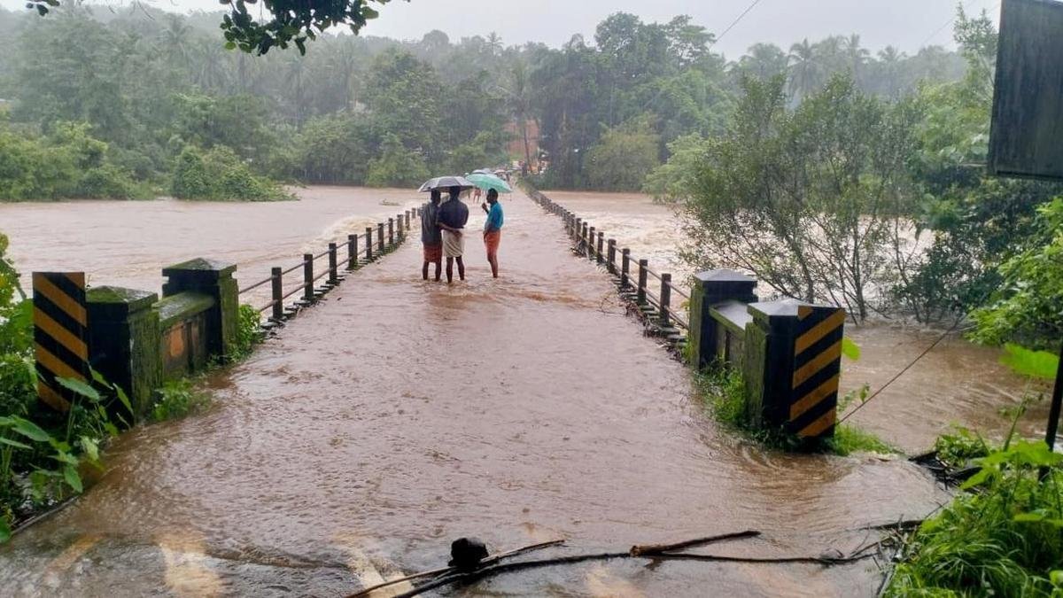
Odisha is likely to witness another spell of heavy to very heavy rainfall as a cyclonic circulation over the region is expected to trigger the formation of a low-pressure area within the next 24 hours.
According to the weather forecast, several parts of the state may experience intense rainfall for the next two days, while rain is likely to continue for around five days. The weather department has issued an Orange Alert for six districts — Keonjhar, Mayurbhanj, Sambalpur, Sundargarh, Jharsuguda and Bargarh — forecasting heavy to very heavy rainfall.
A Yellow Warning has been issued for Jagatsinghpur, Bhadrak, Balasore, Jajpur, Dhenkanal, Angul, Deogarh, Boudh, Subarnapur, Balangir and Nuapada for heavy rainfall.
The remaining districts are also likely to experience thunderstorms, lightning and gusty winds of 30 to 40 kmph, prompting a Yellow Warning.
Low-Pressure Area Likely to Develop
A cyclonic circulation is currently lying over Gangetic West Bengal and adjoining Bangladesh. The system extends up to around 7.6 km above mean sea level and is tilted southwards.
Under its influence, a low-pressure area is likely to form over Gangetic West Bengal and adjoining areas of the northwestern Bay of Bengal within the next 24 hours.
Another upper-air cyclonic circulation is persisting over Jharkhand and adjoining areas at around 1.5 km above mean sea level. The combined weather systems are expected to bring heavy rainfall to Odisha for several days.
The state is likely to remain under the influence of the weather system until August 11, with warnings issued for heavy rainfall and thunderstorms.
Strong Winds, Rough Sea; Fishermen Advised Not to Venture Out
Coastal areas of Odisha are also likely to experience strong winds. Wind speeds may reach 40 to 50 kmph, gusting up to 60 kmph, making the sea conditions rough.
In view of the adverse weather conditions, fishermen have been advised not to venture into the sea.
Odisha’s Monsoon Rainfall Already 26% Above Normal
Odisha has already recorded more than 800 mm of rainfall this monsoon.
Between June 1 and August 7, the state recorded 814 mm of rainfall, against the normal rainfall of 643 mm for the period. This represents a 26% surplus over normal rainfall.
The fresh weather system comes at a time when several parts of northern Odisha are still struggling with the impact of recent floods.
Flood Situation Remains a Concern in North Odisha
The flood situation in northern Odisha has not completely improved, with several areas still remaining waterlogged.
The Salandi River is rising rapidly, while the Jalaka River is flowing above the danger mark. The water level of the Baitarani River is also moving closer to its danger mark.
Meanwhile, the Brahmani and Subarnarekha rivers are also gradually rising.
With more heavy rainfall forecast over the next few days, authorities and residents in flood-prone areas remain on alert. The fresh spell of rain could further worsen waterlogging and flood conditions in already affected districts.
Comments are closed.