

Low-Pressure Area Over Bay of Bengal to Trigger Heavy Rain in Odisha
Low-pressure system over Bay of Bengal to intensify rain; Orange Warning for 3 districts, Yellow Warning for 15 districts

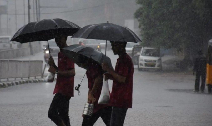
A low-pressure area has formed over the northwestern Bay of Bengal under the influence of a cyclonic circulation, prompting the India Meteorological Department (IMD) to issue weather warnings for several districts of Odisha.
The southwest monsoon trough remains active, while the cyclonic circulation over the northwestern Bay of Bengal has led to the development of the low-pressure system over the northern Bay of Bengal. The system is expected to bring heavy rainfall to several parts of Odisha, particularly northern and coastal districts.
According to the Regional Meteorological Centre in Bhubaneswar, rainfall activity is likely to intensify from August 17 and continue across the state over the next few days. Rain is expected to persist until around August 21-22.
Mayurbhanj, Balasore and Keonjhar are likely to experience heavy to very heavy rainfall, for which an Orange Warning has been issued.
A Yellow Warning has also been issued for around 15 districts, including Kendrapara, Jagatsinghpur, Cuttack, Khordha, Jajpur, Bhadrak, Puri, Dhenkanal, Angul and Sundargarh. These areas may experience heavy rain accompanied by lightning, thunder and gusty winds reaching 30-40 kmph.
The low-pressure system is also expected to make the sea conditions rough. Fishermen have been advised not to venture into the sea until August 18.
Meanwhile, Dhenkanal district’s Kankadahad recorded the highest rainfall in the state at 135.2 mm. The weather office has forecast continued rainfall activity across Odisha through August 21, with the possibility of further spells in some areas.
Comments are closed.